사적
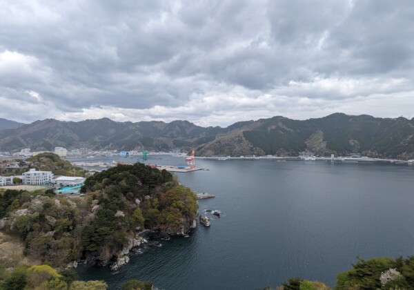
[2 부] 일본 최초의 해상 차트, "Kamaishi Port of Rikuchukushi"및 Kamaishi의 발전 [Iwate Prefcure]
도호쿠 로켄 잡학 미디어 NEFT【전편】일본 최초의 해도 「육중국 가마이시항지」와 가마이시의 발전【이와테현】https://jp.neft.asia/archives/32...

도호쿠 로켄 잡학 미디어 NEFT【전편】일본 최초의 해도 「육중국 가마이시항지」와 가마이시의 발전【이와테현】https://jp.neft.asia/archives/32...

일본 지도의 작성이라고 하면 관정 12년에 전국 측량을 실시한 「이노 타다타카」. 그럼 일본 최초의 해도가 제작된 것은? 그러면 여러분은 어디의 항구나 바다, 제작 배경을 떠올리게 됩니다...