[Fukushima Prefecture] The Goshikinuma Lakes in Urabandai, where you can see a variety of colors
table of contents
Goshikinuma is officially called the Goshikinuma Lakes and Marshes Group. It is located in Kitashiobara Village, Fukushima Prefecture. It is within Bandai-Asahi National Park, and this area, located to the north of Lake Inawashiro on the south side of Mount Bandai, is called Urabandai
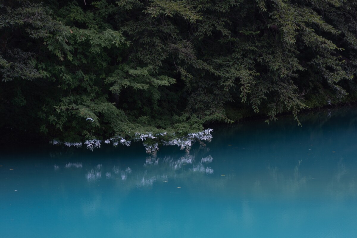
A group of lakes with different water colors
In the eruption of Mount Bandai in 1888, a section of the mountain known as Kobandai collapsed, causing a debris avalanche that collapsed on the Urabandai side, burying the Nakatsugawa, Nagasegawa, Hibaragawa, and Onogawa rivers, creating Goshikinuma. Three settlements were affected, and 477 people were killed or missing
The survivors of this desolate wilderness encouraged the planting of approximately 100,000 trees, including red pine, sumac, and cedar, as a sign of repose for the souls of the deceased. The area later became a lush green plateau, and in 1950 it became Bandai-Asahi National Park
To access Goshikinuma, it is about a 25-minute drive from the Inawashiro Bandai Kogen Interchange on the Ban'etsu Expressway, then a 35-minute transfer to Inawashiro Station on the JR East Tohoku Shinkansen Line, then a 30-minute bus ride from there
A trekking course called a natural sightseeing trail
There is a 3.6-kilometer trekking course at Goshikinuma called the Nature Trail. There is not much elevation change, so even elderly people with weak legs can walk the course. The water in Goshikinuma varies in color depending on the lake, showing off a variety of hues. Near the entrance to the course is Bishamon Lake. The water is a blue-green color, and when viewed from this side, it creates a spectacular view that will take your breath away
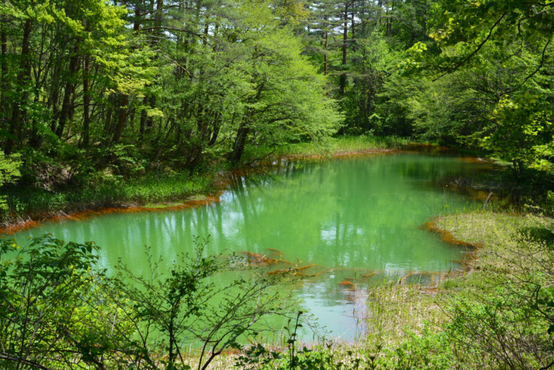
As you proceed along the course, you will come across Akanuma, whose water appears red due to the reddish color of fine particles caused by the deposition of iron oxide
Other lakes include Midoronuma, where the depth of the water varies and the water color changes depending on the location, Ruri-numa, which changes color depending on the viewing position, Aonuma, which has pale blue water, Benten-numa, the second largest of the Goshiki-numa, and Yanagi-numa, which is close to the Urabandai Product Center. In
the season of fresh greenery, the walking paths are captivating with the colors of the young leaves.
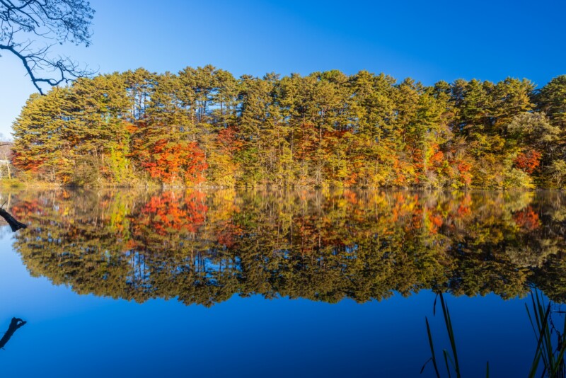
Plantations made in the Meiji era have borne fruit, creating a magnificent forest. In autumn, the red leaves of the lacquer and maple trees combine with the colors of the marsh to create a magnificent landscape. There are also many hotels, pensions, and other accommodations near the entrance to the walking trails, making this a first-class highland resort
Goshikinuma <Information>
- Name: Goshikinuma Lakes and Marshes
- Address: Hinohara, Kitashiobara Village, Yama District, Fukushima Prefecture, 966-0400
- Phone number: 0241-32-2349 (Urabandai Tourism Association)
- Official URL: Urabandai Tourism Association – Goshikinuma Lakes





![Report from the first whisky event in Tohoku, "Whiskey Collection Koriyama"! [Fukushima Prefecture] Whisky Collection Koriyama](https://jp.neft.asia/wp-content/uploads/2024/10/IMG_0751-EDIT-150x150.jpg)
![Monkfish is a delicacy and a delicious winter treat from the coast! [Fukushima Prefecture] Anglerfish](https://jp.neft.asia/wp-content/uploads/2022/02/2054097_m-150x150.jpg)
![Pilgrimage to the 33 Kannon temples remaining in Minamiaizu. The "Mikurairi 33 Kannon temples" certified as a Japan Heritage Site [Fukushima Prefecture] 11_MG_9631](https://jp.neft.asia/wp-content/uploads/2022/11/11_MG_9631-150x150.jpg)

![What is Fukushima City's "Disc Gyoza"? Introducing Recommended Restaurants and Its History [Fukushima Prefecture] 1 round dumpling](https://jp.neft.asia/wp-content/uploads/2023/03/31485117_m-150x150.jpg)
