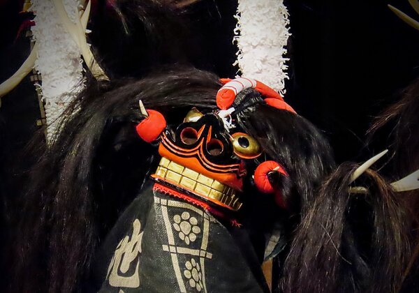
[Akita's Sasara Dance: Part 1] The roots of "Sasara Dance"? A clue lies in "Lion Dance"...
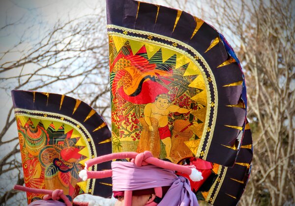
Many folk performing arts and traditional events have been passed down in Akita Prefecture. One of these is the "Sasara Dance" (or "Sasara"), which has been passed down throughout the entire Akita prefecture, primarily in the Kitaakita region (Hon...


